Visit to organic farms of Yi O
(東涌地鐵站→東涌巴士總站 11號巴士→大澳總站→大澳長堤→番鬼塘→牙鷹角→二澳→二澳基堤→根頭坳農場→原路回大澳→漫遊大澳市集)
(Tung Chung MTR station→Tung Chung Bus Terminus [NLB bus no.11]→Tai O Bus Terminus→Tai O Embankment [next to Tai O bus terminus]→Fan Kwai Tong Village→Nga Ying Kok camp site→Yi O→Yi O Dike→Kan Tau Ngau farms→Back to Tai O from the same way→Visit to Tai O market)
Album:
http://www.fotop.net/medalene/04feb14TaiO?page=1
http://www.fotop.net/medalene/04feb14TaiO?page=2
http://www.fotop.net/medalene/04feb14TaiO?page=3
http://www.fotop.net/medalene/04feb14TaiO?page=4
http://www.fotop.net/medalene/04feb14TaiO?page=5
http://medalene.blogspot.com/2014/02/20140204-yi-o.html


今天來個二澳行!!!! 在大澳巴士總站下車後, 經大澳長堤步向海邊的番鬼塘.
Today we were having a walk @ Yi O (1 hour's walk from Tai O bus terminus)!!! Started from Tai O bus terminus, we walked via Tai O embankment and reached the seaside, that is Fan Kwai Tong Village.

向牙鷹角的方向走.
Keep on moving to the way for Nga Ying Kok.


沿村路上山, 很快到了牙鷹角及營地.
Then we walked via a village path -- now we were @ Nga Ying Kok (sea cape) and Nga Ying Kok camp site.


遠觀萬丈布及下游的水澇漕.
Man Cheung Po Waterfall near the hilltop and the lower stream "Shui Lo Cho" (Noisy water).

二澳海邊.
The seaside of Yi O.

海神廟.
A temple @ the seaside, for the Deity of the sea.

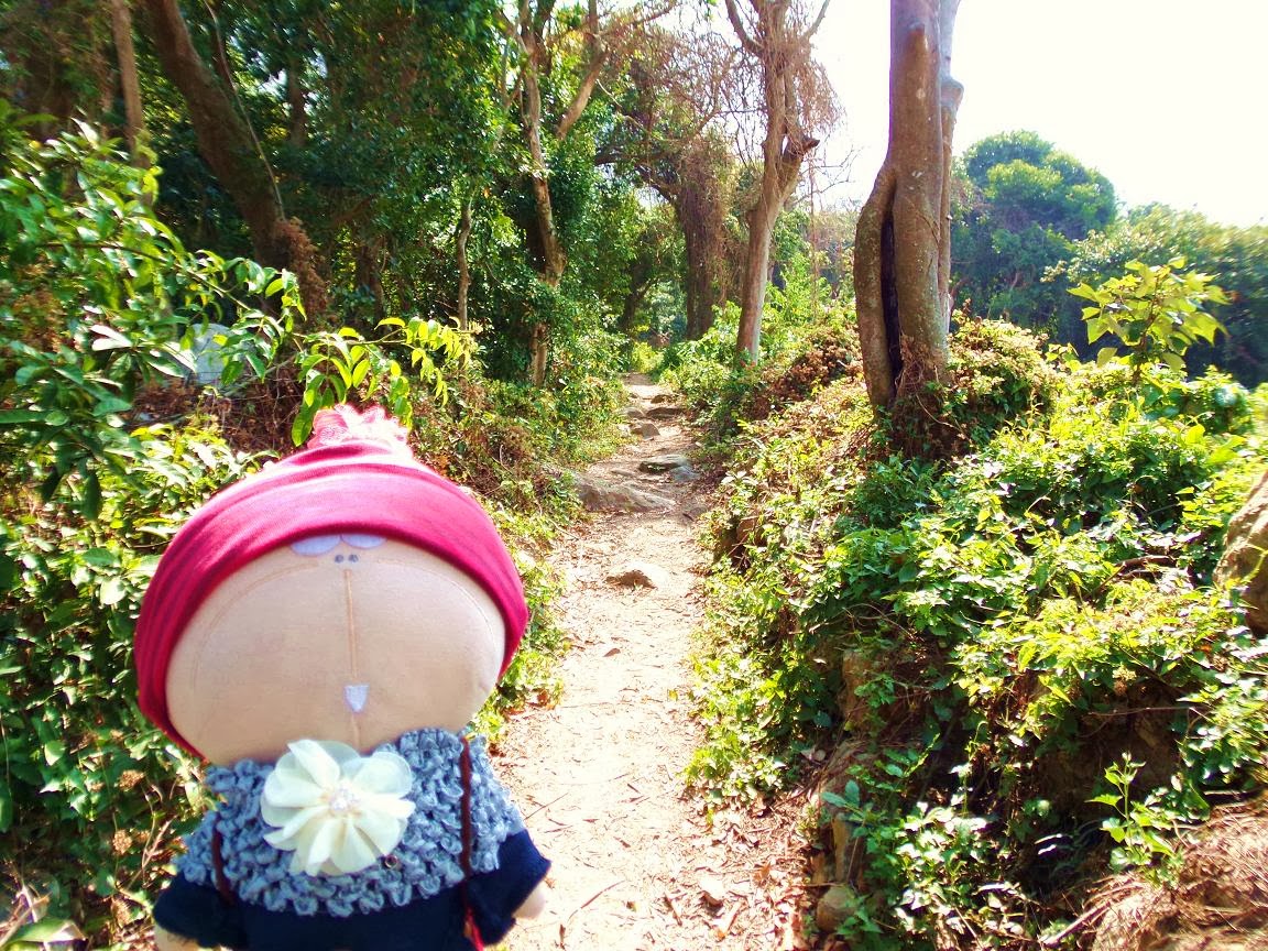
經二澳基堤深入根頭坳, 昔日這裡長滿雜草, 現在已給鏟走.
We kept on walking along the Yi O dike and went into a place called "Kan Tau Au" (this place is not written on maps now). This part was covered by woods in the past, but now most of the trees are removed.

相傳這個地方昔日名為狗坑 (由舊旅遊書的資料所得)
According to the information from very old travel books, this place was called "Kau Hang" in the past. People killed and washed dogs @ this stream (now dried), of course no such things happening here now.


根頭坳的荒廢村屋.
Very old village houses @ Kan Tau Au.


一片荒涼, 很像沙漠.
Looks like a desert.


昔日的陰森密林現已變成農場.
Those dark and creepy woods now become large pieces of farmlands.

大片稻田.
A large piece of rice field.


菜田.
Different kinds of vegetables are grown.


肥美大蘿蔔, 花老 B 也抓不住了!!
Large piece of turnip field with big and long turnips everywhere, Tachibana san was holding one of them with a big smile!!!

田園風光.
A walk near the fields.

回到大澳南涌村, 在東方小祇園午飯. 這裡供應素食及肉食, 美味的素食(椒鹽豆腐)值得一試!!!!
Now we were back to Nam Chung Village of Tai O (near the Tai O embankment). We had lunch @ this old restaurant, Tung Fong Siu Kei Yuen, which provides both Vegetarian food and meat. The vegetarian food here are very delicious...
"Deep fried tofu with pepper salt 椒鹽豆腐" <-- br="" highly="" recommends="">

香蕉花, 市區見不到吧!!!
Banana flower!!!!


回大澳市集一遊.
A walk @ Tai O Market.


石仔埗海邊的蝦醬及蝦醬廠.
Bricks of shrimp paste and buckets of shrimp paste under fermentation. With an old shrimp paste factory at the seaside of Shek Tsai Po.

石仔埗的海邊.
The seaside of Shek Tsai Po.


大澳文物酒店, 昔日是大澳警署.
Tai O Heritage Hotel (former Old Tai O Police station)

舊日的拘留室及石床.
Former detention room, with a stone "bed".

酒店內漫步
Walked around in the hotel.


石仔埗閒遊.
Had a walk @ Shek Tsai Po.


