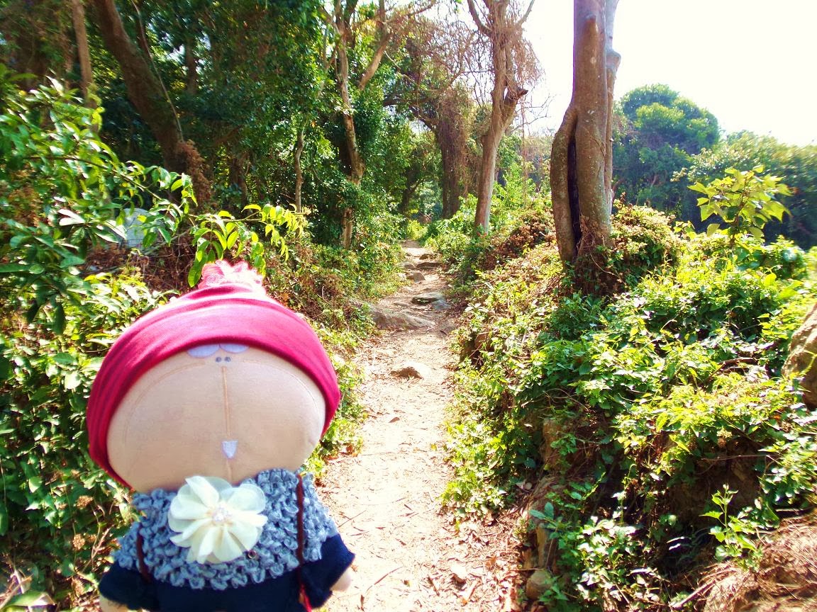
Long Walk to Tsin Yue Wan (Fried Fish Bay)
(大澳巴士總站→大澳長堤→番鬼塘→牙鷹角→二澳→二澳基堤→二澳農場→鳳凰徑→根頭坳→煎魚灣→煎魚灣營地→原路回大澳)
(Tai O Bus terminus→Tai O Embankment→Fan Kwai Tong Village→Nga Ying Kok Campsite→Yi O→Yi O Dike→Yi O Farm→Lantau Trail→Kan Tau Au→Tsin Yue Wan [Fried Fish Bay] →Tsin Yue Wan Camp site→Back to Tai O from the same route)
Album:
http://www.fotop.net/medalene/22feb14TsinYueWan?page=1
http://www.fotop.net/medalene/22feb14TsinYueWan?page=2
http://www.fotop.net/medalene/22feb14TsinYueWan?page=3
http://www.fotop.net/medalene/22feb14TsinYueWan?page=4
http://www.fotop.net/medalene/22feb14TsinYueWan?page=5
http://medalene.blogspot.com/2014/02/20140222-tsin-yue-wan.html


上回在二澳只作了短遊, 意猶未盡之故, 今天一於來個二澳<-->煎魚灣小長征!!! 來回約11公里, 不算長, 正合我們的計劃!! 在大澳巴士總站起步, 經旁邊的長堤走到海邊的番鬼塘, 再上山向牙鷹角及牙鷹角營地進攻.
We had been to Yi O during the CNY holidays but it was just a short walk!!! So we have another walk here and this time we are going to both Yi O and Tsin Yue Wan (Fried Fish Bay)!!! It is not a long walk (approx. 11 km). Started from Tai O Bus Terminus, we walked via the long embankment near the bus-stop and reached Fan Kwai Tong Village (turn right, along the seaside) in 15 minutes. Then we continued to walk uphill via the footpath for Nga Ying Kok Camp site.

二澳海神廟.
The temple for Deity of the sea @ Yi O.


走過二澳基堤, 再步入基堤後面的叢林.
Now we were walking along Yi O Dike, and then we kept on walking into the woods at the back of the dike.


叢林內的荒廢村屋已變成了二澳農作社, 還有不少農產品出售!!!! 現在此地已不再像昔日那麼陰森恐怖了.
The abandoned village houses in the woods now have become Yi O Agricultural Cooperation!!! And you can also buy their products here!!! More people are coming here for a trip and this place is not dark and creepy any more.


二澳仍有不少舊村屋, 不知將來會否改建為渡假屋??
There are still quite a number of village houses in Yi O, are they going to become hostels in the future?? :P


二澳農地-- 多種農產品由這裡出產!! 蘿蔔早已收割, 只餘下這些爛了的在田中.
Yi O Farm-- Turnips, beetroots, rice and different kinds of vegetables!!! Turnips are picked and only the rotten ones are left behind.


二澳農舍附近, 便是通往煎魚灣的鳳凰徑路段, 經過時勿踏壞了農地! 由此地步向煎魚灣及分流, 途中會經過有名的根頭坳草隧道 -- 山徑給樹林遮蓋, 有點陰森, 雨天不宜.
The entrance for Lantau Trail (The way for Tsin Yue Wan camp site and Fan Lau) is near the farm-houses of Yi O. Be careful not to step on the veg. fields :P
You will go through the well-known "grass tunnel" of Kan Tau Au when you are walking via this part, the path is covered by bushes and it is quite dark along the way.
You can have 100% FUN when you are sharing horror stories with other hikers here!!!! :D
We had a wonderful time here today!!!


已走了5.5公里, 是小休的時候了. 在此處望向海邊, 對岸的雞翼角風景不錯.
We had been walking for 5.5 km and it was the time for us to stop for a while. We could see Peaked Hill (in Cantonese, Kai Yet Kok, means "Cape Chicken Wing") from here, what a nice view!!!

尋寶地圖?!?!??!? 隊長在網上找到此地圖, 今天帶我們來尋古跡!!!! 紅點是昔日煎魚灣普濟禪院的位置 (寺院早已消失, 只餘下牌匾), 看我們今天的運氣如何了.
Cool!! Our leader has downloaded a map... for treasure hunt????? Hahaha!!! Yep, we were going to have a look for a historical spot, Po Chai Temple (the RED dot on the map), a collapsed old temple which was built in the Qing Dynasty (approx. 1907). The building is not existing but some stone tablets are still in the woods near Tsin Yue Wan. Hope we can find them!!!


在標柱 L066 附近, 我們憑著尋寶圖, 終於找到一條給雜草掩蓋著的傾斜山路. 撥開雜草及樹叢, 依稀可見有小徑下山. 不過小心內有毒蛇猛獸!!!!
We were near distance post L066 now. Base on the "treasure-hunting" map, there should be a footpath leading down to the seaside. We spent some time trying hard to find out the footpath. Finally we saw a sandy track covered in long grass. So we used our hiking rods to clear the way and continued to go downward.


任務失敗了.... 由於樹林內路徑越來越不明顯, 我們決定走回鳳凰徑! 不過我們在叢林中, 找到一堆昔日煎魚灣的舊村屋, 也算是有點收獲.
Mission failed.... The bushes are so high that make the track becoming invisible.... We had to go back for Lantau Trail. But before our "evacuation", we had found some old village houses of former Tsin Yue Wan Village inside the woods!!! We finally had got some "treasure"!!! (How people could live here in the past??? Even no footpath can be found!)


回到鳳凰徑, 下山去煎魚灣的海邊了.
Back to Lantau Trail and started our walk for the seaside of Tsin Yue Wan (Fried Fish Bay).


下降至煎魚灣的海灘 -- 由於時間不足, 我們沒有前行至象鼻崖, 後來才知道可以從象鼻崖附近找到普濟禪院的牌匾!!!
We had reached the beach of Tsin Yue Wan --- a pity we did not have enough time to walk for another 1000m (500m x 2) for "Trunk Cliff" (A cliff that looks like the elephant trunk!!)
The tablets of Po Chai Temple are near "Trunk Cliff"!! (>__<)


最後一站 -- 煎魚灣營地, 在這裡可看到二澳農場原來離開我們很遠了......
The last stop --- Tsin Yue Wan (Fried Fish Bay) Camp site.... we could see Yi O Farms from here, really far away from us.


回到二澳已經日落, 黃昏中的二澳有點蒼涼.
Sunset @ Yi O ---- what a desolate place...

趕到大澳長堤... 是回市區吃晚飯的時候了....
Back to Tai O .... time to leave, we were very hungry.... :P


