大帽之巔食四方 (大帽山→四方山)
Hiking along the highest mountain range of HK (Tai Mo Shan → Sze Fong Shan)
(Exit E1 of Tsuen Wan West MTR station [West Rail]→KMB bus no. 51→Country Park bus-stop→Tai Mo Shan Road→Tai Mo Shan Country Park→Restricted Area→Continue the walk @ Tai Mo Shan Road→Summit of Tai Mo Shan [HK Observatory weather radar station]→Direction for Lead Mine Pass→Sze Fong Shan→Back to Tai Mo Shan Road bus-stop)
Album:
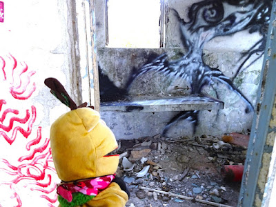
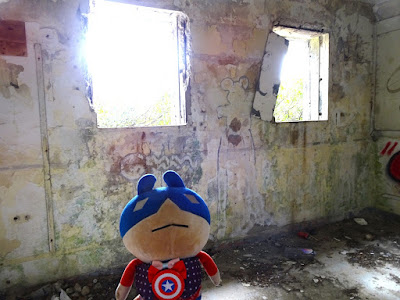
荒廢了的軍營.
An old barrack.
山頂白龍珠
The summit of Tai Mo Shan.
貓屋 The big cat graffiti.
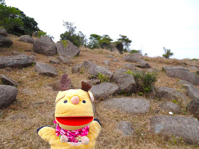
上去四方山.
Going to Sze Fong Shan.


是否櫻花?
Not sure whether this is sakura tree or not.....


荒廢了的軍營.
An old barrack.


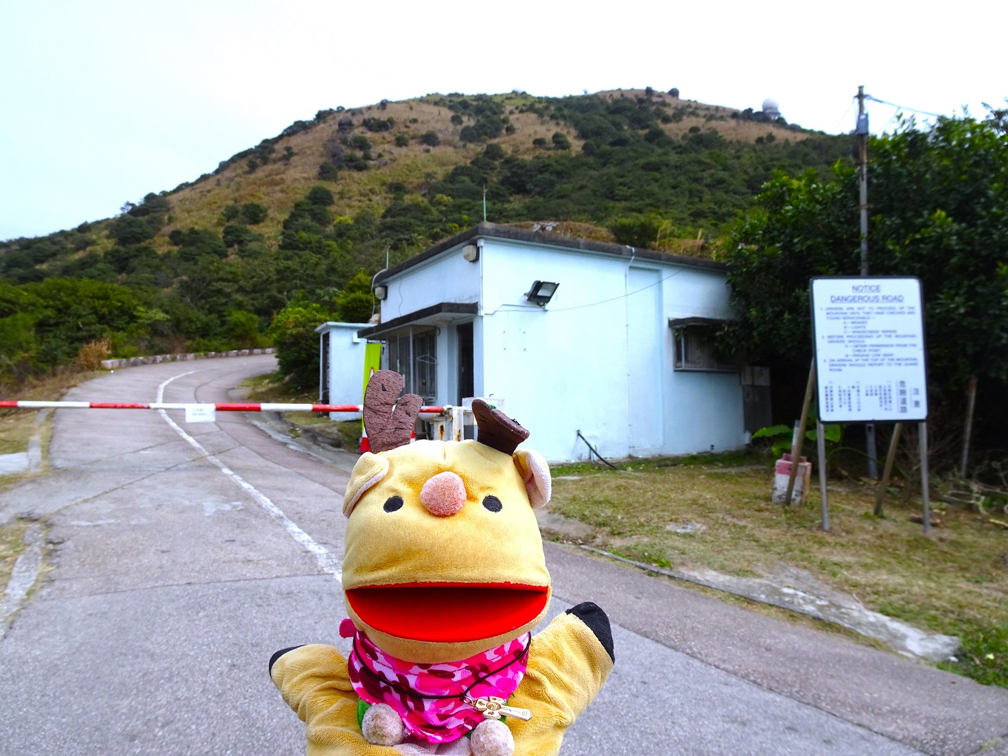


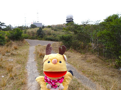
大帽山最高點, 在氣象站及軍營內, 所以不能進入.
The summit of Tai Mo Shan (957m above sea level), a restricted area inside the HK Observatory and barrack.


從大帽山山頂繼續走, 向著鉛礦坳方向走, 先去著名的貓屋.
Going to the direction for Lead Mine Pass, we will stop to look for the cat graffiti.


原本的貓已被政府消滅了, 現在只有這隻貓. (Original cat)
Ooooops, the original cat was removed by the government...... this is another cat.


我們身處海拔 860米
Now we are @ 860m above sea level.


今天很大風, 正午貓屋的氣溫是6.5-7°C 度左右.
Windy and cold near the big cat, this part is around 6.5-7°C at noon.


繼續向鉛礦坳方向下山, 山路非常非常斜, 中途會經過香港第四高的四方山.
Continue with our walk for Lead Mine Pass direction, the footpath becomes very very steep.
We will reach the 4th highest peak of HK -- Sze Fong Shan very soon.


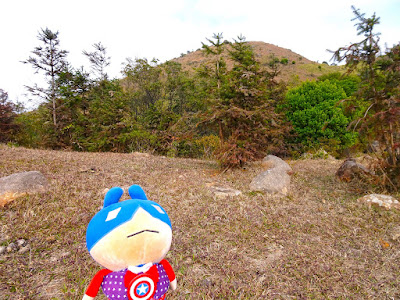
香港第四高的四方山就在眼前.
Now we can see Sze Fong Shan (the 4th highest peak of HK)!!!


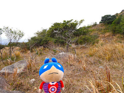
登上四方山.
Just have a look @ Sze Fong Shan.


在四方山上稍作休息, 已經是16:00, 原路回大帽山, 今晚會在荃灣吃晚飯.
Have a cozy rest @ Sze Fong Shan, this place is so beautiful!!!
Now 16:00, we have to go back to Tai Mo Shan bus-stop (Route TWISK) as our team is going to have dinner in Tsuen Wan this evening.


再次回到大帽山.
Back to Tai Mo Shan again.


沒有留言:
張貼留言